
Many travelers land in South Korea expecting global navigation apps like Google Maps to work seamlessly, or they cluster too many distant destinations into a short trip. Misjudging travel times between regions or missing local transit details often leads to unnecessary stress, missed train connections, and wasted budget during your stay.
Browse the organized travel sections below to plan specific routes, compare Seoul neighborhoods, set up local transport passes, and coordinate trips across South Korea without getting stuck on technical logistics.
Tools & resourcesKorea Guide Finder · Korea Trip Budget Calculator · Korea Travel Essentials · Korean Size Converter
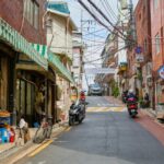
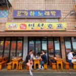
Seoul Neighborhoods & Attractions (29)
Seoul Neighborhoods & Attractions: what to know first
- Seoul districts offer distinct atmospheres, so choose your base according to transit convenience and primary interests.
- Major sites often require advance reservations or digital queue entry during peak afternoon visiting hours.
- Walking paths connect key historic landmarks, but hilly terrain makes comfortable walking shoes essential for exploring.


























Regional South Korea Travel (18)
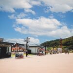
Regional South Korea Travel: what to know first
- High-speed rail lines connect major provinces, making long-distance travel across the peninsula fast and predictable.
- Smaller towns rely on express buses, requiring careful checking of departure times at local intercity terminals.
- Cultural heritage sites outside major cities often close early, so plan outdoor visits before late afternoon.
















Transit & Transportation (14)
Transit & Transportation: what to know first
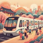
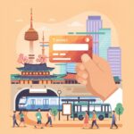
- A rechargeable T-money card works across subways, city buses, and select taxis throughout South Korea.
- Download local mapping applications before arriving, as standard international navigation apps have limited functionality in Korea.
- Express KTX trains require advance booking during national holidays, weekends, and peak travel periods.







Busan Travel Guides (13)
Busan Travel Guides: what to know first
- Busan spreads along an extended coastline, requiring strategic grouping of sights to minimize daily travel times.
- Coastal trains and subway lines connect major beaches, historic districts, and renovated industrial culture spaces efficiently.
- Seafood markets and waterfront neighborhoods offer distinct local dining customs compared to inland cities like Seoul.












Jeju Island Travel (13)
Jeju Island Travel: what to know first
- Renting a car provides the most flexibility, though local public buses cover primary tourist routes reliably.
- Weather conditions can change rapidly across different elevations, requiring flexible outdoor hiking schedules and alternative plans.
- Entry permits or advance registration are required for specific natural trails and protected environmental zones.










Practical Travel Tips (13)
Practical Travel Tips: what to know first
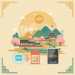
- Confirm whether your smartphone is unlocked before purchasing a local eSIM or physical prepaid SIM card.
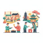
- Carry a modest amount of physical Korean Won for traditional market stalls and card-charging terminals.
- Keep tax refund receipts from participating retail stores to process VAT refunds at international departures.











Day Trips from Seoul (9)
Day Trips from Seoul: what to know first
- KTX trains and express buses make historic destinations accessible within one to two hours from Seoul.
- Joining organized tours is often required for restricted zones like the DMZ due to border security protocols.
- Return transit seats fill up quickly on weekend evenings, making advance round-trip bookings recommended.









FAQ
Do I need cash for traveling in South Korea?
South Korea is largely cashless, but physical Korean Won is still necessary for loading T-money cards at subway stations, buying street food at traditional markets, and paying at small roadside stalls that do not process foreign credit cards.
Which navigation app works best in Korea?
Naver Map and KakaoMap offer accurate pedestrian routing, real-time public transit schedules, and updated local business details across South Korea. Google Maps has limited functionality due to national mapping data laws, making local apps essential for navigation.
Is public transit accessible for non-Korean speakers?
Major subway systems and buses feature English signage, visual route screens, and multilingual audio announcements. Station numbers correspond to routes on digital network maps, making transfer points clear even if you cannot read Korean characters.
Prefer newest first? Browse all K-Travel posts. Other guides: K-Beauty · K-Food · K-POP · K-DRAMA